Kira and I hiked the Uinta highline trail from Chepeta dam east to Hayden pass starting on August 14th. It was a 65 (ish) mile hike over five days.
Check out the photos
We left our car at the Hayden pass trailhead and got a ride to Chepeta dam. (Note that a parking permit is now required at the Hayden pass trailhead. You can buy it online before you go or at some of the campgrounds in the area. But there is no way to buy the pass right at the trailhead.)
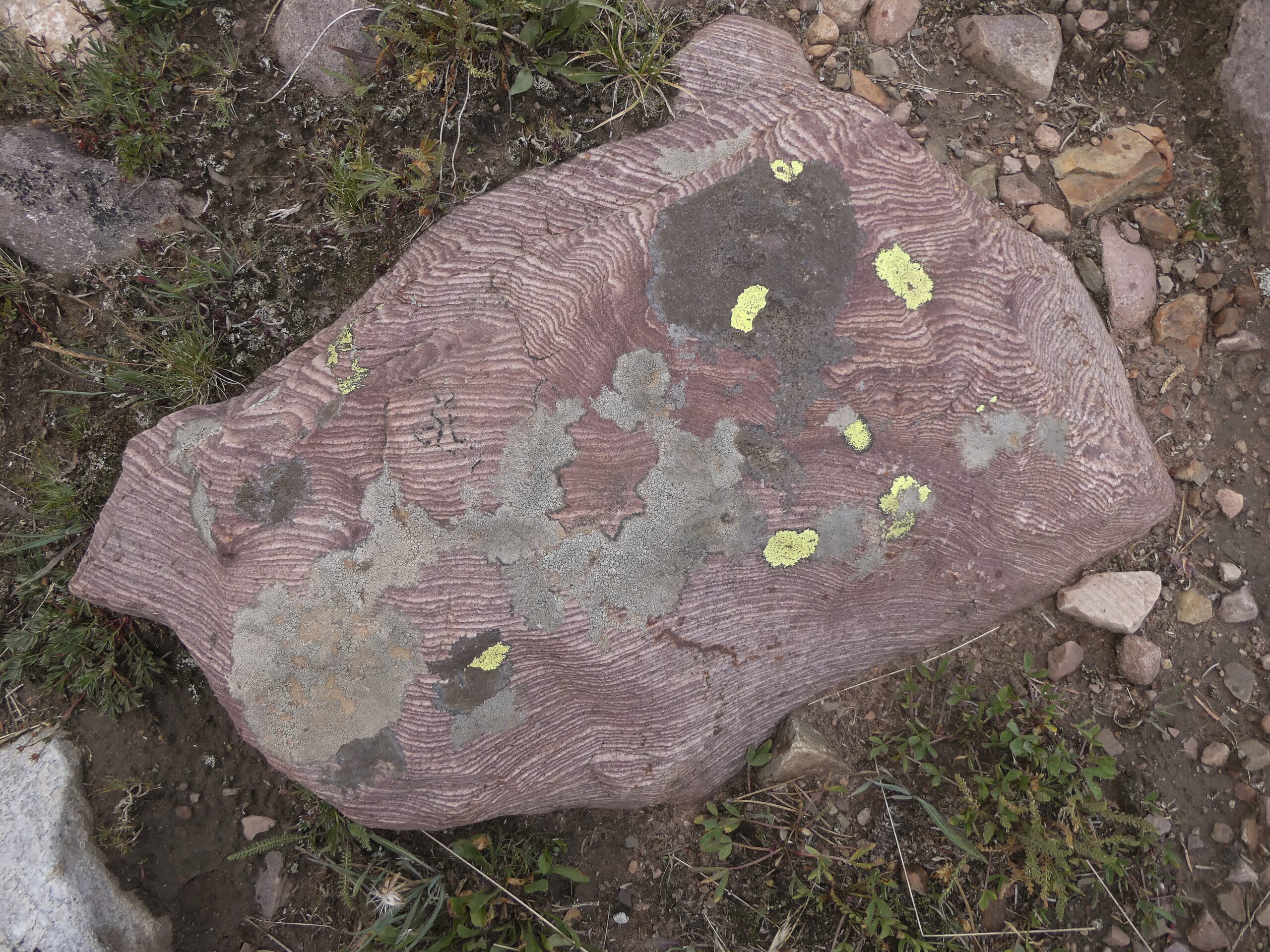
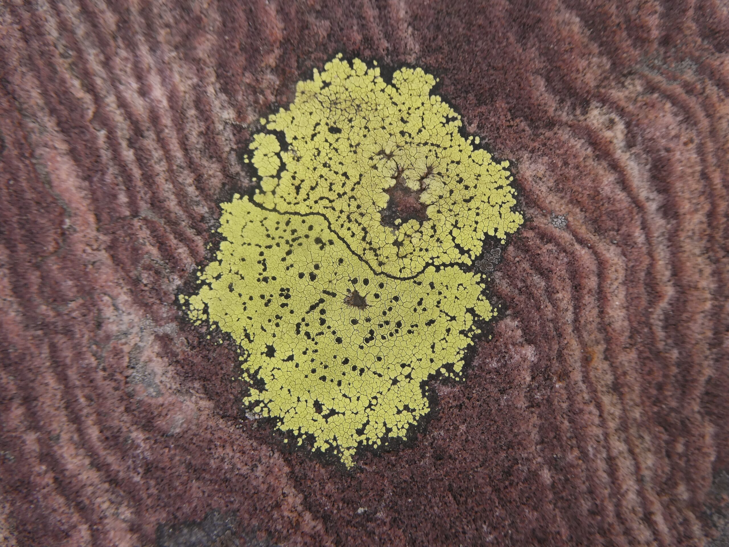
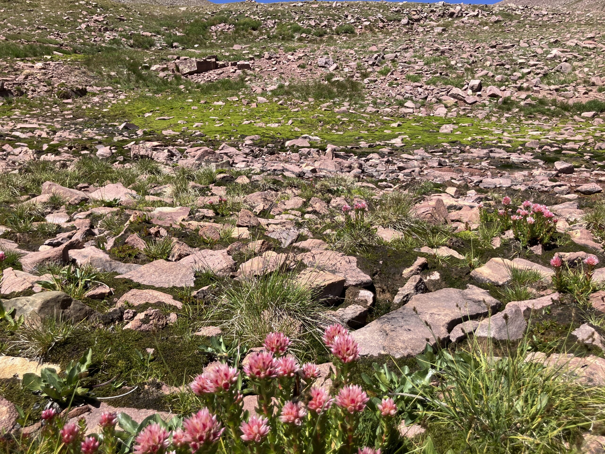
We camped at Chepeta dam and got a fairly early start on the 14th. We crossed the North pole pass (12200) and hiked 17 miles. This day was pretty easy hiking. The pass was not very steep and the trail was good. The whole day was spent >10k feet and I had a bit of a headache from the altitude and not sleeping well the first night. The most interesting scenery on the first day was actually the rocks. There were lots of sandstone rocks with very distinct and even stripes. Here is an example
We got a late start on the 15th and didn’t get to the top of Anderson pass (12800) till 2pm. The weather was good though, so we climbed up to King’s peak. I definitely recommend the side trip up to the peak. The view is not so much better, but it is a fun hike with a little bit of scramble and not as hard as it looks from the pass. There isn’t really much of a trail, but Kira didn’t have any trouble finding a good path. We descended and camped that night in the valley between Anderson pass and Tungsten pass. The campsite was still above 11k feet and I definitely noticed the elevation at night. It didn’t bother me much during the day, but at night I felt a little out of breath and got a light headache.
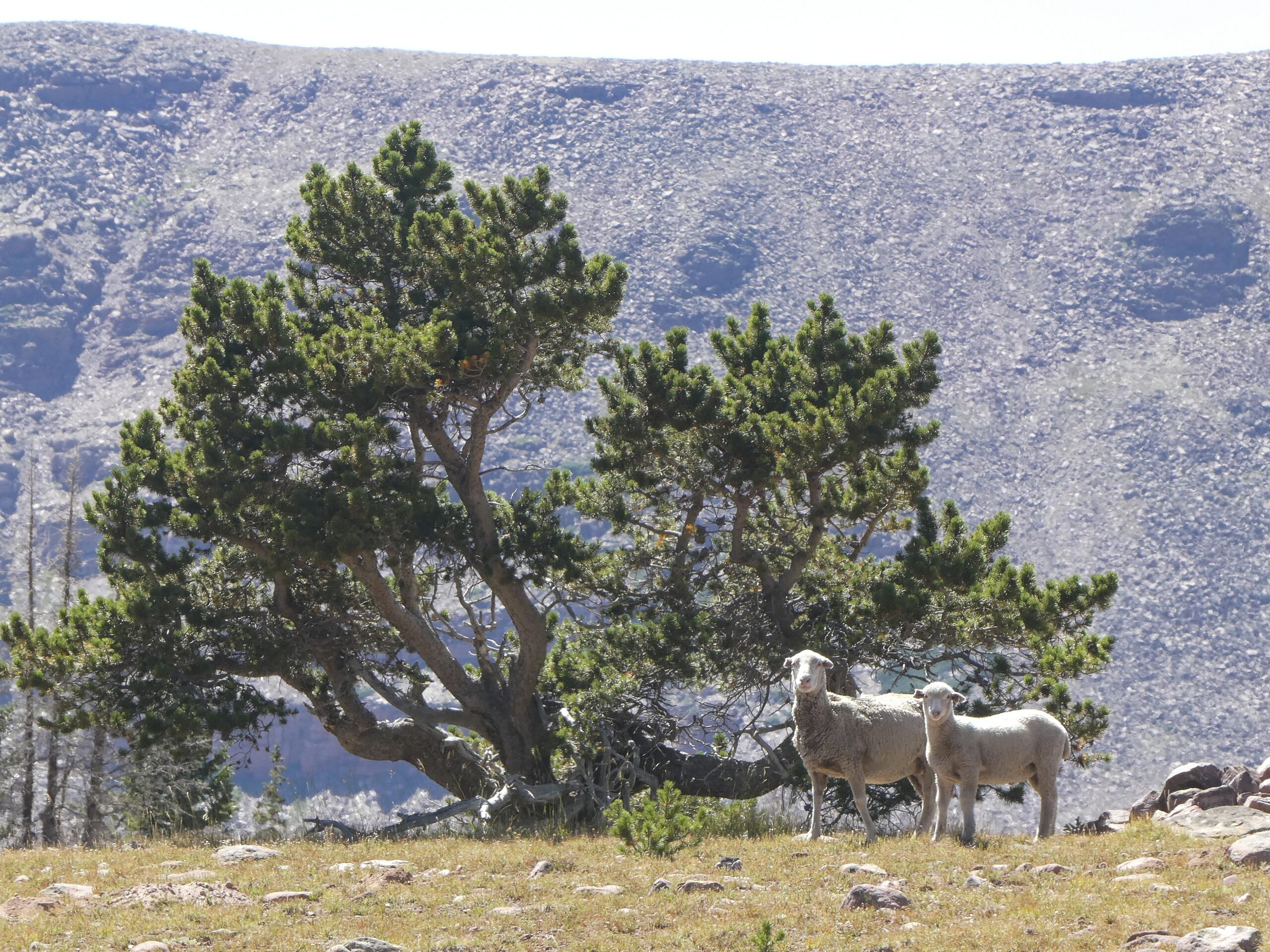
The 16th was not super memorable. We crossed the Tungsten pass without really even noticing and then Porcupine pass with no problems. There was a nice wetland area right before Porcupine and we had lunch with some sheep. The day was mostly spent in the high valleys. We camped at the low point before Red Knob.
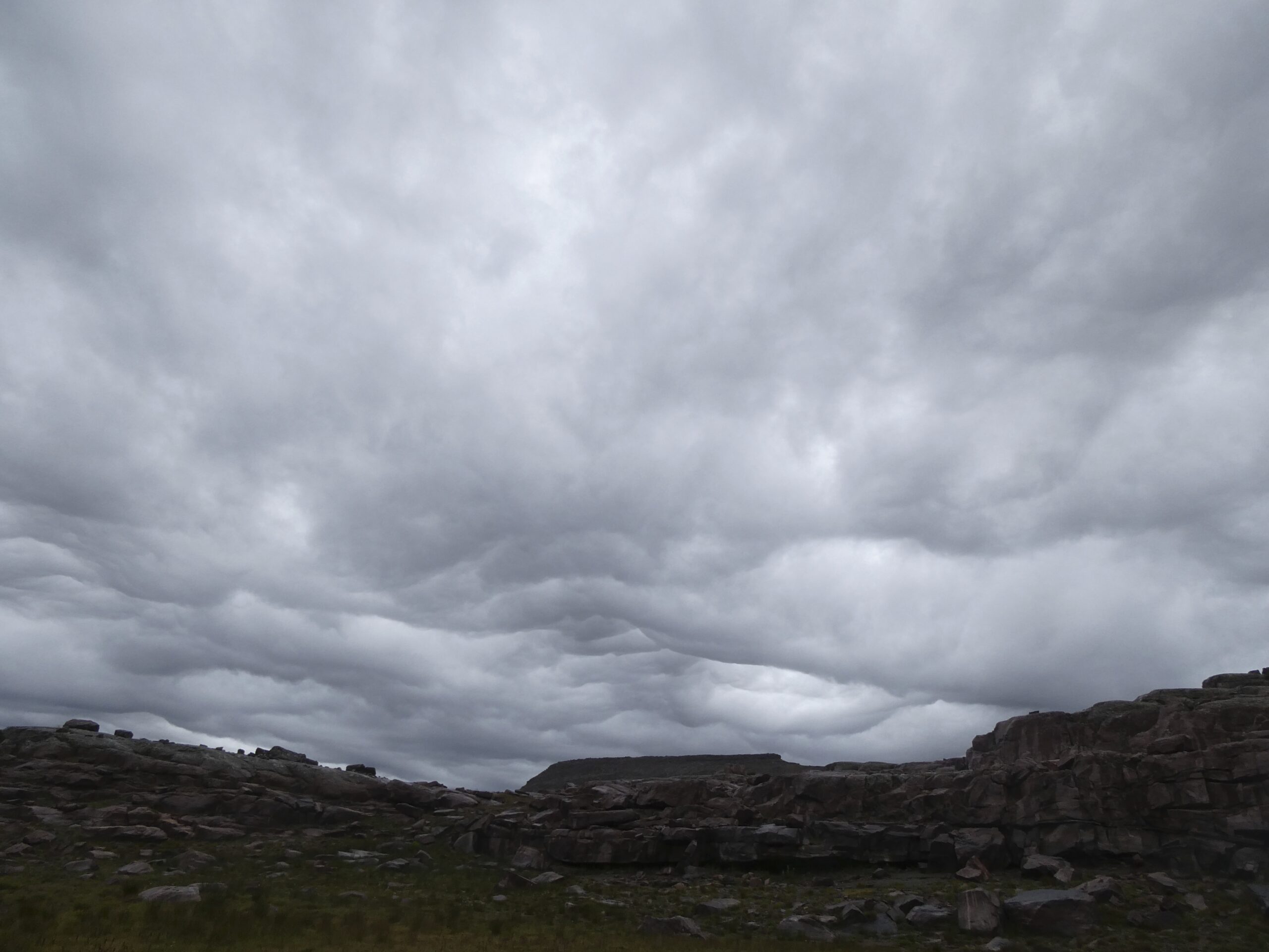
On the 17th we didn’t get a super early start. We did Red Knob (12000) w/o difficulty but got caught by rain a couple miles before Dead horse (11600). We sheltered for at least an hour in our ponchos in the trees. There was hail, lightning, and some significant wind, but we didn’t get wet. The rain cleared and we made it to the base of Dead horse before the next storm started rolling in. There wasn’t any thunder this time so we pushed on. The wind was blowing toward the east, so we were sheltered by the pass and the rain was pretty mild as we climbed. Unfortunately, when we reached the top of the pass, we were no longer sheltered from the wind and it was too treacherous to continue with the wind knocking us around. We sheltered right near the top in our ponchos for about an hour waiting for the wind to die down. I was worried about the footing because I’d read that Dead horse pass was the sketchiest and would be bad when wet. But we had the opposite experience – I thought the footing was quite good. The path was narrow, but it wasn’t slippery at all. Maybe being wet actually helped.
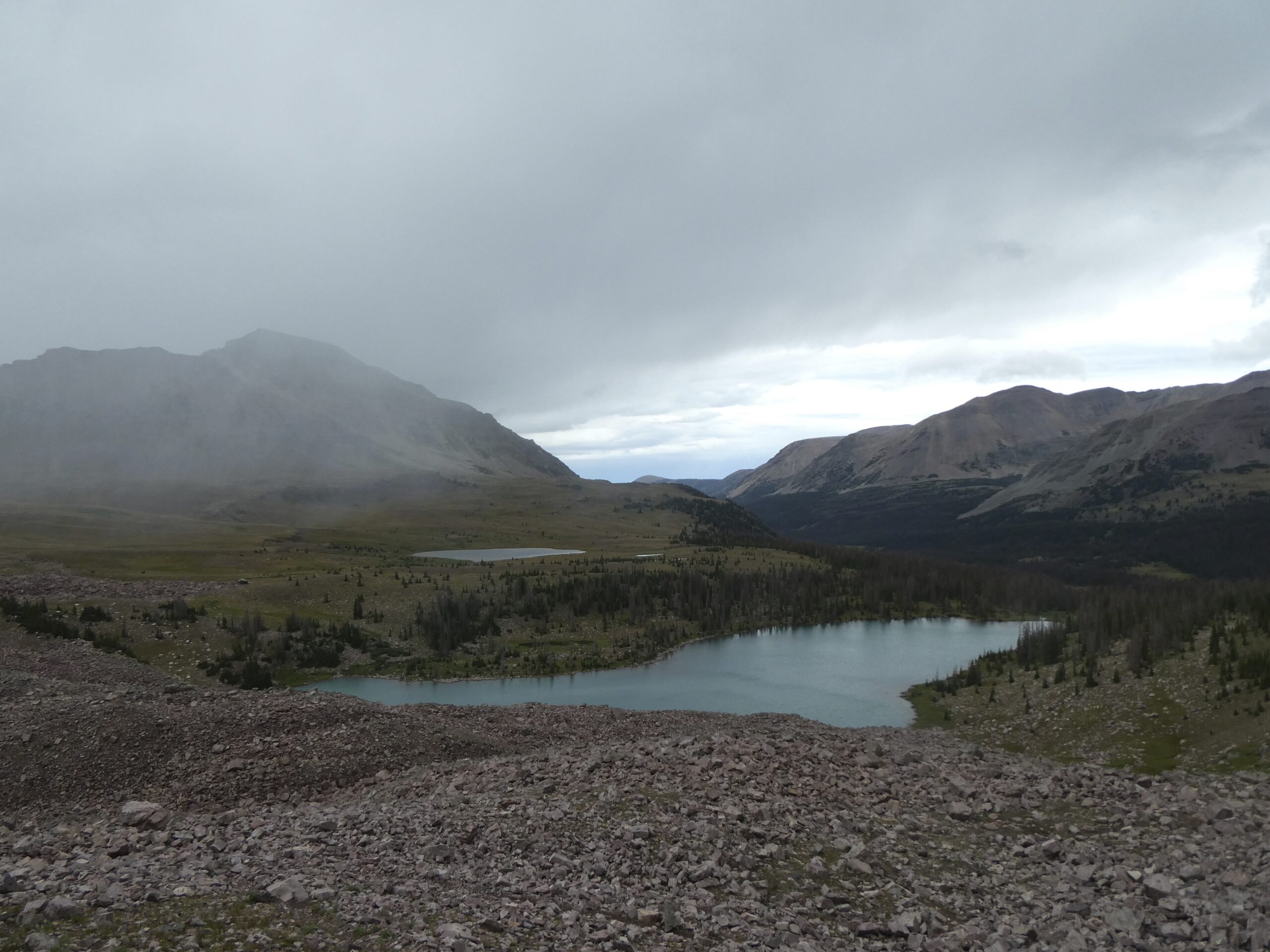
At this point it felt like we were getting behind on our schedule, so we walked quickly to get to the valley below Rocky Sea pass. We took the official route through the burn region and the downed trees definitely slowed us down. Kira was good at finding a path around the trees, but we had to check the phone a lot to see where the trail was. We also didn’t see the trail split at the river and had to backtrack a bit. The river itself was probably running high from the rain and we had to get wet to cross. It wasn’t dangerous, but the river was running fairly quick. We camped about a half mile from the river.
This was definitely our hardest day. I don’t think the passes were any worse than on prior days, and I was finally fully acclimated to the altitude. But the rain delays, the worry and anxiety about whether we’d get over Dead Horse, and all the downed trees made this a very long tiring day.
We got up early on the 18th because we didn’t want to get caught in any more rain and so that we could try to get off the trail before we met too many day hikers starting from the west end. We crossed Rocky Sea pass (11300) with no difficulties, but I would say that it was the second most challenging pass after Anderson.
We did run into a lot of people on this last day. There were also a lot of people around King’s peak. Otherwise, we probably met one or two other people per day.
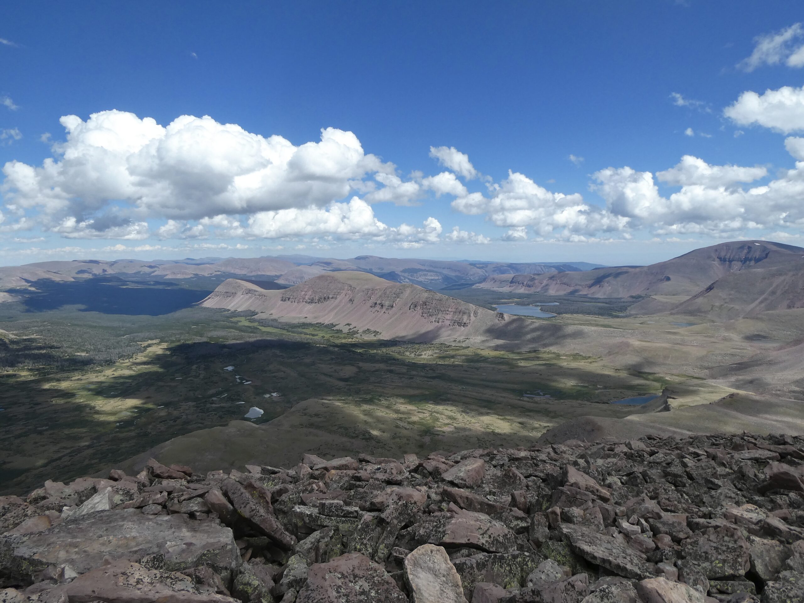
Overall, the scenery was nicer than I expected it to be from the photos that I’d seen. It is very open scenery and it is fun to see the landscape change as you hike. But the scenery was also a bit repetitive and overall I wish that the hike had been four days instead of five. I think this hike would be more fun if we were going a little bit faster: doing 17 mile days instead of 13, or if we started at King’s peak instead of Chepeta.
I was happy that our camping gear kept me warm at night. I was worried about being cold at the high elevation and that wasn’t a problem. We also didn’t have many mosquitos. I did get a few bites (all within the span of a few hours), but there were basically no mosquitos.
Water is plentiful on the trail. The AllTrails map was not a reliable guide about rivers, but we basically didn’t have to worry about water availability. Unfortunately, our filter was acting up and going super slow. So we were spending almost an hour a day dealing with water.
Overall I’d say that this was a more difficult hike that I expected. The climbing was fine and the trail was never sketchy. But it was long, and stayed at high altitude the whole time. I’d say that the hardest part for me was the rockiness of the trail. The trail was rarely smooth or soft and after five days of walking on rocks my feet were worn out. I’d highly recommend good cushion on your shoes for this hike.